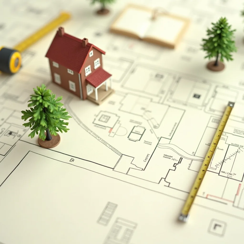
A tree constraints plan (TCP) is a scaled drawing that overlays your tree survey onto the site — plotting each tree's position, crown spread, Root Protection Area and shade — so you can see how trees constrain the developable area before a layout is designed.
The TCP is one of the first outputs of a BS5837:2012 tree survey, and it is the drawing that makes BS5837's design-led philosophy work in practice. Get it right and it steers your whole scheme; skip it and you risk designing roads and foundations straight through areas you simply cannot build on.
What a TCP actually shows
A TCP takes the numbers from the tree survey schedule and turns them into geometry on the site plan. For every relevant tree — on the site and, crucially, off-site trees whose influence reaches in — it plots the following layers:
| Layer | What it shows | Why it constrains the site |
|---|---|---|
| Tree position | The surveyed location of each stem | Fixes the centre point every other layer is drawn from |
| Crown spread | Canopy extent, measured in four directions | Above-ground clash with buildings, scaffolding and roofs |
| Root Protection Area (RPA) | The below-ground rooting zone to be safeguarded | The single biggest constraint — usually no-build ground |
| Shade / shadow arcs | How canopies overshadow future gardens and windows | Drives future-occupier pressure to fell healthy trees |
| BS5837 category | Retention value: A, B, C or U, often colour-coded | Tells you which trees are worth designing around |
Put together, these layers reveal the "left-over" developable envelope once you subtract what the trees quietly claim. On a tight urban plot, that left-over envelope is often far smaller than the owner expected.
The Root Protection Area: the heart of the drawing
The Root Protection Area is what turns a promising site into a constrained one. Under BS5837:2012 it is calculated as a circle with a radius of 12 times the stem diameter, measured at 1.5m above ground level (diameter at breast height, or DBH). A few worked examples show how quickly it grows:
| Stem diameter at 1.5m | RPA radius (12 × diameter) | Approx. RPA area |
|---|---|---|
| 250mm (0.25m) | 3.0m | ~28 m² |
| 500mm (0.5m) | 6.0m | ~113 m² |
| 750mm (0.75m) | 9.0m | ~254 m² |
| 1,000mm (1.0m) | 12.0m | ~452 m² |
| 1,250mm (1.25m)+ | capped at 15.0m | capped at 707 m² |
Two important refinements the TCP captures:
- The cap. The RPA is capped at 707 square metres (equivalent to a 15m radius) for very large trees with stems above roughly 1.25m — a mature oak does not generate an ever-expanding circle.
- Polygons, not just circles. Where the arboriculturist judges rooting to be asymmetric — for example constrained by an existing building, road or hard surface on one side — the RPA can be re-plotted as a polygon of the same area, shifted to where the roots realistically grow. The area is preserved; the shape moves.
Veteran and ancient trees get an enhanced RPA (15 times the stem diameter, or the canopy edge plus 5m, whichever is larger), and they are treated as irreplaceable habitat under national planning policy. Ancient woodland attracts a minimum 15m buffer from its boundary. If one of these sits on or beside your site, the constraint is severe and rarely negotiable.
A worked example: the rear extension near a neighbour's oak
Picture a homeowner planning a single-storey rear extension. The garden looks empty — but a mature oak stands in the neighbour's garden, 4m the other side of the boundary fence, with a 700mm stem. Its RPA radius is 12 × 0.7 = 8.4m, so the protected root zone reaches 4.4m into the applicant's garden. The TCP plots that arc across the exact ground the extension footings were meant to occupy.
Without a TCP, the owner discovers this only when the tree officer objects — after drawings are paid for. With a TCP up front, the options are visible early: shift the footprint, adopt a no-dig or pile-and-beam foundation within the RPA (detailed later in the arboricultural method statement), or reduce the extension. That is the TCP doing its job — surfacing the conflict while it is still cheap to solve.
Why "future growth" and shade matter
A TCP is not only a snapshot of today's trees. Good practice looks ahead: a young tree will grow, its canopy will spread, and its shade will lengthen. Designing a habitable room or a small garden tight against a category A tree can create future-occupier pressure — the near-inevitable desire to lop or fell a healthy, valued tree because it blocks light or drops leaves on the patio. Planning officers know this pattern well, and a layout that plants that conflict is a layout that invites objection or a refusal on amenity grounds. The shade layer on the TCP exists to help you design that pressure out before it is ever built.
Where the TCP sits in the process
The TCP comes early — ideally before the layout is drawn. That sequence is the whole point: BS5837 expects the survey and constraints to inform the design, not to be produced after the design is fixed. A layout drawn blind, then checked against trees at the Arboricultural Impact Assessment stage, frequently reveals conflicts that force an expensive redesign — or a refusal.
So the typical order runs:
- Tree survey — records every relevant tree and calculates its RPA and category.
- TCP — plots those constraints onto the site plan.
- Design — the layout is shaped around the TCP.
- AIA — assesses the finished layout against the trees; submitted with the application.
- TPP + method statement — set out and enforce protection during construction, often at discharge of a planning condition.
The TCP is not usually a standalone validation document — the tree survey for planning and the AIA are what most authorities need to validate an application. But the TCP is the drawing that makes those later documents defensible, because it proves the design responded to the trees rather than ignoring them.
What goes wrong without one
- Roads, drains and foundations routed through RPAs — discovered at AIA stage, forcing redesign or refusal.
- Off-site trees ignored — a neighbour's canopy or roots sterilising ground the owner assumed was free.
- Optimistic categories — grading a constraint tree lower than the tree officer will accept, so the design leans on ground that turns out to be protected.
- Shade conflicts baked in — habitable rooms and gardens placed where they will always feel dark, generating future felling pressure.
- A design fixed before the survey — the most expensive mistake of all, because BS5837's whole logic is reversed.
Requirements are set locally — check your council
Here is the part applicants most often miss: there is no single national rule that says "you must submit a tree constraints plan." BS5837:2012 is a British Standard containing recommendations — it uses "should", not "must", and is not itself law. What makes arboricultural documents effectively compulsory is one of three separate things: your local planning authority's validation list, a planning condition attached to a permission, or statutory protection (a TPO or conservation area) on a specific tree.
The first of those — the validation list — is set locally, so it genuinely differs from council to council. What one authority demands at validation, another accepts as survey-only until later. The trigger wording, the distance thresholds and how strict the individual tree officer is in practice all vary. So the practical rule is simple: check your own authority's validation checklist before you commission drawings. Councils such as Leeds, Manchester, Bristol and Nottingham each publish their own arboricultural expectations, and they are not identical.
PlanWatch tracks live tree-related planning activity per council, so you can see how your authority actually treats trees in real applications — not just what the policy says. Start at the tree-surveys hub and check your area.
A note on nations: BS5837:2012 applies UK-wide as a British Standard, but the surrounding planning framework is England-centric in this guide. Scotland (Town and Country Planning (Scotland) Act 1997), Wales and Northern Ireland run parallel but distinct regimes — verify the rules for the relevant nation.
The bottom line
Think of the TCP as the "constraints map" that turns a wishlist layout into a buildable one. It shows you, before you commit to a design, exactly how much of your site the trees are quietly claiming through their root zones and canopies. For how the TCP feeds into the documents you submit and the conditions you discharge, see our guides to the arboricultural report and the Tree Protection Plan.