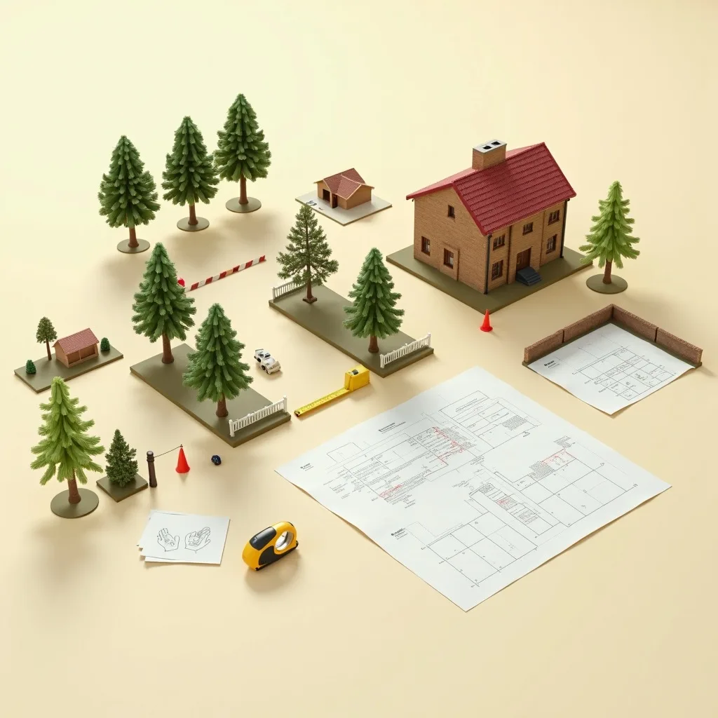
BS5837:2012 is a British Standard that recommends how trees should be surveyed, protected and integrated into design and construction — it is guidance, not law, and it becomes compulsory only when your Local Planning Authority adopts it on a validation list or imposes it as a planning condition.
The full title tells you everything about its status: BS 5837:2012 — Trees in relation to design, demolition and construction – Recommendations. That last word is deliberate. Throughout the document the drafting uses "should", never "shall" or "must". So when a council officer or consultant tells you a BS5837 survey is "required", what they mean is that the LPA has made it a condition of validating or approving your application — not that the Standard itself carries the force of statute. This guide walks through what the Standard actually asks for, clause by clause, in plain terms — and, just as importantly, where the real compulsion comes from.
Three different reasons you might "have to" do one
It is worth separating the sources of compulsion, because homeowners routinely conflate them:
- Local validation — your LPA won't accept (validate) the application without the arboricultural documents its checklist demands. Miss them and the application is returned unregistered.
- Planning condition — permission is granted "subject to" a Tree Protection Plan or Method Statement being approved. Breaching a condition is an enforcement matter.
- Statutory tree protection — a Tree Preservation Order or conservation area designation is criminal law, entirely separate from your planning application. It protects the tree whether or not you are developing.
Only the first two are about BS5837 documents. The third can bite even when no survey is technically required, which is why the Standard and the statutory regime must be kept distinct in your head.
The core principle: survey first, design around trees
BS5837 is design-led. Its central idea is that trees worth keeping should be identified before the layout is fixed, so that roads, foundations, drainage and levels are arranged to avoid them. Survey a site after the design is locked and you routinely discover that an access road or footing runs straight through a tree's rooting zone — forcing an expensive redesign, or a refusal. The Standard's sequence exists precisely to prevent that. A common real-world failure looks like this: a house extension is drawn to the boundary, planning is refused because the foundations sit inside a retained neighbour's oak RPA, and the owner pays twice — once for the redesign and once for the second application.
The tree survey and schedule (what gets recorded)
The heart of the work is a systematic survey of every relevant tree, recorded in a schedule. For each tree the surveyor captures:
- Species
- Height (metres)
- Stem diameter, measured at 1.5m above ground — this is DBH; multi-stem trees get a combined notional diameter
- Crown spread, taken in four cardinal directions
- Height of crown clearance and first significant branch
- Age class (young, semi-mature, mature, over-mature, veteran)
- Physiological and structural condition
- Estimated remaining contribution (life expectancy)
- The BS5837 retention category (see below)
- The calculated Root Protection Area
- Management recommendations
Trees on neighbouring land count too, wherever their canopy overhangs the site or their rooting area projects into it. Ignoring off-site trees is one of the most common survey failures — and one tree officers spot immediately.
The retention categories (U, A, B, C — never "R")
BS5837:2012 grades each tree into one of four categories, using the Table 1 cascade chart:
| Category | Meaning | Est. remaining contribution |
|---|---|---|
| U | Unsuitable for retention — dead, dying, dangerous or so defective it can't reasonably be kept | Under ~10 years / removal |
| A | High quality, good examples worth retaining | 40+ years |
| B | Moderate quality, retention desirable | 20+ years |
| C | Low quality, unremarkable or young/small | 10+ years |
Each category carries a subcategory recording why the tree has value: 1 = mainly arboricultural qualities, 2 = mainly landscape qualities, 3 = mainly cultural or conservation value. So an "A1" is a high-quality tree valued arboriculturally; a "B2" is a moderate tree valued for its landscape contribution.
A frequent error worth flagging: older references and some third-party guides mention a "Category R" for removal. In the 2012 edition the correct code is U (unsuitable for retention). "R" is legacy terminology from the 2005 edition — don't use it, and be wary of any surveyor who does. We cover the grading system in full in our guide to BS5837 tree categories.
The Root Protection Area formula (clause 4.6)
The Root Protection Area is the notional below-ground rooting zone that must be safeguarded from compaction, excavation, level change and contamination. The formula is:
RPA radius = 12 × stem diameter (measured at 1.5m)
The resulting area is capped at 707 square metres — equivalent to a 15m radius — for trees with a stem diameter above roughly 1.25m. For multi-stem trees a combined notional stem diameter is used.
A worked example: a tree with a 0.5m (500mm) stem diameter gives an RPA radius of 12 × 0.5 = 6m, an area of about 113m². A larger, 0.8m stem gives a 9.6m radius. Where rooting is demonstrably asymmetric — constrained by an existing building or road — the RPA can be re-plotted as a polygon of the same area rather than a circle, but the total safeguarded area must be preserved.
Veteran and ancient trees get enhanced protection: 15 × stem diameter, or the canopy edge plus 5m, whichever is larger. Development near ancient woodland is expected to keep a minimum 15m buffer from the woodland edge, because these are treated as irreplaceable habitat in national policy.
The five documents BS5837 work produces
A "BS5837 survey" colloquially means the whole package, but it is really several distinct deliverables that appear at different stages of the planning journey:
| Document | Job | Stage |
|---|---|---|
| Tree Survey + schedule | What's here and what's it worth? | Pre-design |
| Tree Constraints Plan (TCP) | Where can we build? | Pre-design |
| Arboricultural Impact Assessment (AIA) | Can we build this layout? | With application |
| Tree Protection Plan (TPP) | Where does protection go? | With application / at discharge |
| Arboricultural Method Statement (AMS) | How exactly will trees be protected? | Usually a pre-commencement condition |
The survey, TCP and AIA are the pre-permission "can we build this?" documents. The detailed TPP and AMS are the post-permission "prove you'll protect them" documents, discharged as conditions — you can hold full permission and still be legally barred from starting a single spade until the LPA approves them in writing. We break all five down in detail in our guide to the five outputs of a BS5837 survey.
Who should carry out the work
The Standard asks that the survey be done by someone "suitably qualified and experienced". There is no statutory licence to be an arboriculturist, so the phrase is convention, not law. In practice the accepted test is a degree or equivalent (N/SVQ Level 5) in arboriculture plus at least three years' relevant recent experience. LPAs give the most weight to credentials such as an Arboricultural Association Registered Consultant or an ICF Chartered Arboriculturist. Anyone can call themselves an arborist; the accreditation is the differentiator, and a thin report from an unaccredited surveyor is exactly the kind a tree officer challenges. See our guidance on how to find a tree surveyor.
Requirements are set locally — check your council
Here is the part generic guides miss: BS5837 itself is UK-wide, but what actually triggers a survey, and how much detail you must supply at each stage, is decided by your Local Planning Authority. The Standard doesn't say "you must do this on this application" — your council's local validation list does. Those lists differ in their trigger wording, their distance thresholds, whether they demand a full AIA plus AMS plus TPP upfront or accept a survey only at validation, and how strictly the individual tree officer reads the work. Local TPO density and conservation-area coverage change the picture again.
That is why PlanWatch tracks tree-related planning activity per council, so you can see how your specific authority handles applications near trees before you commit. Compare the expectations in, for example, Leeds, Manchester and Lambeth — an inner-London borough with heavy conservation-area coverage behaves very differently from a large metropolitan district. Start from the tree surveys hub to find your own authority and check what it currently asks for.
BS5837:2012 applies UK-wide as a British Standard, but the statutory framework that makes it compulsory — planning validation, TPOs and conservation areas — differs between England, Wales, Scotland and Northern Ireland. This guide is England-centric (Town and Country Planning Act 1990 and the 2012 Regulations); check your national regime if you're outside England.
Where to go next
If you're facing a planning application that affects trees, start with our main guide to a BS5837 tree survey for planning, which explains what to commission and when. For fees, see our tree survey cost breakdown; for the physical rooting zone, our Root Protection Area guide; and to see what the finished paperwork looks like, our annotated arboricultural report example.